AquaBiota performs mapping of benthic marine conservation values in the entire Swedish marine spatial planning area of the Baltic Proper as well as adjacent coastal zones. Since such comprehensive maps have not been created on this scale before, the project will result in a new overall picture of benthic conservation values in the area.
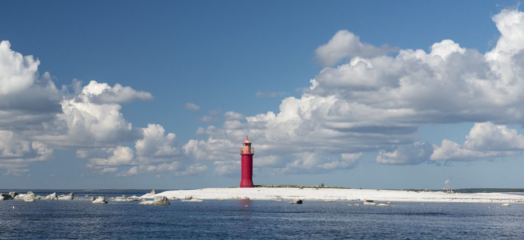
Slite archipelago. Photo: Nicklas Wijkmark
AquaBiota is mapping benthic marine conservation values in the entire Swedish marine spatial planning area of the Baltic Proper as well as adjacent coastal waters for the Swedish Agency for Marine and Water Management. In the project, which is performed in the winter 2018/2019 maps will be created for benthic species, HUB-biotopes and conservation values using spatial modelling. All modelled maps are quality assured through a validation process with data that was not used in the modelling and the quality is described spatially in each map. The mapping, which is performed in 250 m resolution, uses large amounts of biological field data, both from earlier surveys and from surveys that were performed within a collaborative project during the summer 2018 in order to complete existing biological field data for this purpose. Abiotic maps of environmental variable that are needed in the modelling work are also compiled and adjusted. In addition to this, the sampling design was also performed for the supplementary field surveys as well as the video interpretation of the films from the supplementary surveys.
The mapping work will result in comprehensive maps of benthic species, HUB biotopes and conservation values in the Swedish marine spatial planning area of the Baltic Proper as well as coastal zones adjacent to this. Since such comprehensive maps have not been created on this scale before, the project will result in a new overall picture of benthic conservation values in the area.
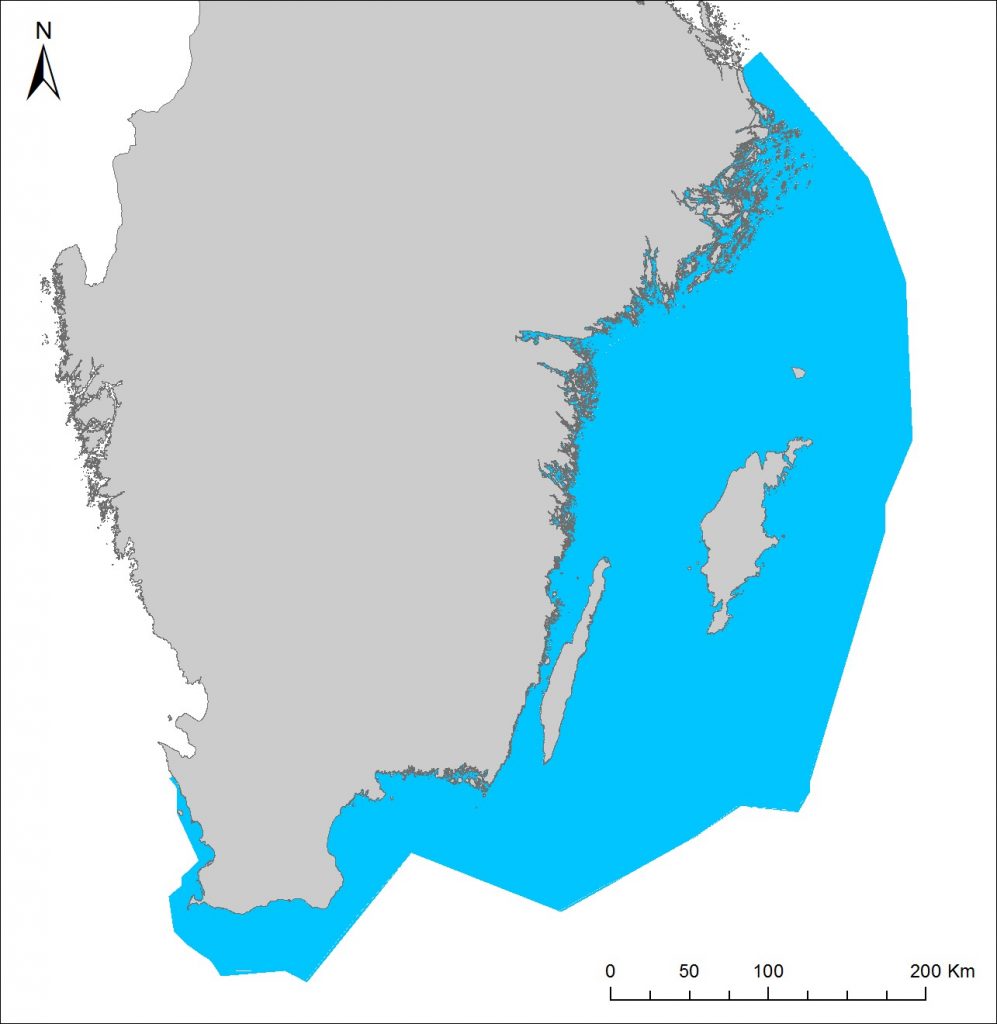
The Swedish marine spatial planning area of the Baltic Proper including adjacent coastal waters. The entire area is mapped within this project.